Features SEAtizens Watch
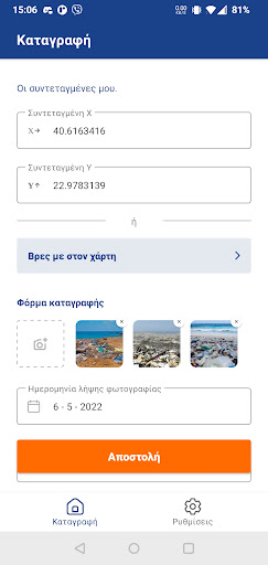
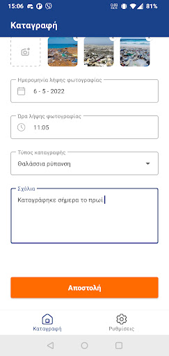
The application aims to record and collect valuable data on marine species and visible forms of pollution in surface waters (eg floating solid waste and discarded nets, stains, oils, brown water, etc.) while also contributing to awareness and active contribution of the target groups of the Project but also of the general public in the protection of the marine environment.In particular, using this application, anyone on a marine vessel can photograph marine protected species and / or sources of pollution and forward them to the respective Project database.
The application has the ability to give the location of the point from which the photo was taken, in order to identify the respective Sea Area and the exact geographical coordinates of the event captured in the photo.
This application offers a simple tool, even for someone unfamiliar with the technology, to integrate this process into a collective effort to gather data, potentially usable for the advancement of science and knowledge, the protection of marine life and the prevention of / tackling pollution, with the valuable awareness, on the part of the user, that his photos are not just photos, but important recordings that can contribute to the preservation of the environment.
In short, the above application functions as a modern tool of Citizen Science.
The data that will be collected either in relation to sources of pollution, or in relation to protected species will be utilized through synergies with other relevant programs, agencies, but also for the submission of possible future proposals, interventions, etc.
Camera Features
Advanced camera features with editing capabilities.
Fitness Tracking
Track your workouts and monitor your health metrics.
Food & Dining
Discover recipes and order food from your favorite restaurants.
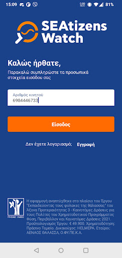
See the SEAtizens Watch in Action
Get the App Today
Available for Android 8.0 and above